 Four-Faith IoT
Main Pain Points of Mountain Flood & Geological Hazard Prevention
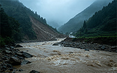
Flash flood, landslide and debris flow break out rapidly with extremely short evacuation lead‑time.
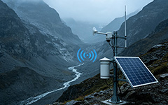
Deep mountain areas lack mobile base‑stations. Single transmission link tends to break and causes monitoring‑data loss.
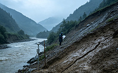
Traditional manual patrols hardly capture micro‑deformation and hidden risks from short‑term heavy rainfall.
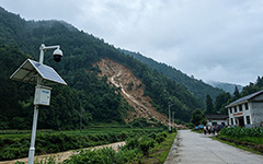
Alerts only reach management terminals. Villagers receive warnings late and risk‑evacuation efficiency remains low.
Full‑cycle Closed‑loop Prevention for Mountain Flood and Geological Hazards
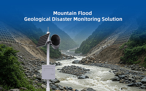
Deploy multi‑type sensing devices for rainfall, water‑level, displacement, debris‑level and video surveillance. Support multi‑backup communication including 4G / Beidou / LoRa. GIS platform integrates hydrological‑geological data for AI risk evaluation. Multi‑level early warning is released via loudspeaker, LED and household terminals to realize full closed‑loop prevention covering pre‑disaster forecast, in‑disaster dispatch and post‑disaster review.
✅ River Hydrological & Rainfall Monitoring
✅ Slope Displacement & Deformation Monitoring
✅ Gully Debris‑level Monitoring
✅ Soil Moisture / Pore‑water Pressure Monitoring
✅ On‑site Video Cruise & Village‑level Multi‑channel Warning Release
Core Business Modules for Mountain‑flood & Geological‑disaster Prevention
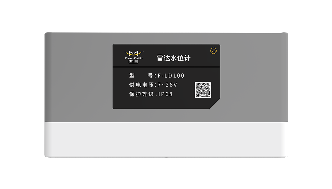
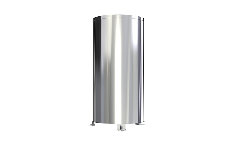
Collect real‑time water‑level and rainfall data for flash‑flood risk identification.
Track slope displacement, debris‑level, soil moisture and pore‑water pressure for geological‑hazard perception.
Live video surveillance for hidden‑danger sites, visualize on‑site hazard situations.
Trigger loudspeaker, LED screen and household terminals for synchronous risk notification for local residents.
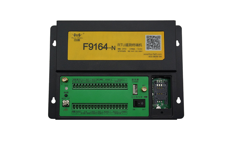
Full Set IoT Sensors & Terminals for Mountain‑flood & Geological‑disaster Supervision
Core Advantages of Mountain‑flood & Geological‑disaster Monitoring Platform
Monitor mountain‑flood water regime and slope deformation synchronously, covering two types of hazard hidden‑danger points.
Auto‑switch to Beidou when public network drops off, ensure stable data return for deep‑mountain monitoring sites.
AI analyzes time‑series rainfall and deformation data to trigger graded early‑warnings in advance.
Multi‑channel alerts via loudspeaker, LED and mobile phone reach villagers directly for rapid risk‑evacuation and transfer.
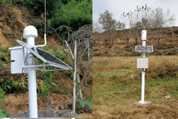
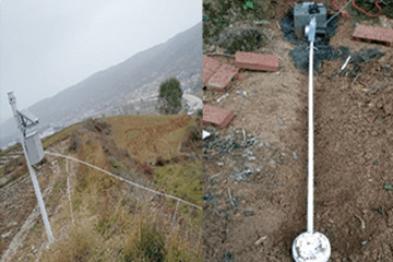
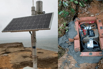
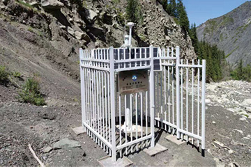
Completed Mountain‑flood & Geological‑disaster Monitoring Projects
Send your project parameters, our engineers reply within 24 hours.
Get Free Quote