 FourFaith IoT
Southeast Asia Flood Warning Systems in 2026: What's Changed
Executive Summary
2026 is a pivotal year for flood warning systems across Southeast Asia. Driven by ASEAN unified standards, AIoT upgrades, satellite communication breakthroughs and cross-border river cooperation, regional flood monitoring has shifted from manual single-point observation to integrated intelligent frameworks. Thailand, Vietnam, Indonesia, Malaysia and the Philippines lead large-scale infrastructure upgrades, with standardized low-power IoT hardware, AI forecasting and cross-border data sharing becoming mainstream industry benchmarks.
1.Unified Regional Hydrological Standards Implemented
ASEAN’s AHR-TR 2025 hydrological hardware specs took effect in early 2026 and will become mandatory by 2028. The rule unifies sensor data formats and communication protocols, solving cross-border equipment compatibility issues. Meanwhile, Indonesia and Myanmar updated procurement rules to cap data transmission delay at 30 seconds, boosting demand for edge-computing telemetry terminals. The Mekong River Commission also released its 2026–2030 strategy, requiring transboundary stations to adopt identical measurement algorithms for joint flood prediction. Outdated mechanical gauges lost market share rapidly, while radar water sensors and HADCP flow meters now dominate new tenders.
2. AI + Satellite IoT Becomes Standard Tech Stack
AI flood prediction replaced simple threshold alarms in most cities in 2026. Combined with real rainfall, water level data and multi-year hydrological archives, machine learning models lift warning accuracy above 90%. Thailand built over 100 AI monitoring nodes in tourist zones to release 3–6 hour inundation alerts, and Malaysia upgraded its hazard platform to cut alert release time by half.
Dual 4G/Beidou satellite communication is now standard for remote mountain and island sites, preventing data loss during typhoons when ground signals fail. The Philippines launched satellite SMS alert services for isolated villages, while Thailand deployed cloud-penetrating SAR satellites to monitor floods under heavy monsoon clouds.
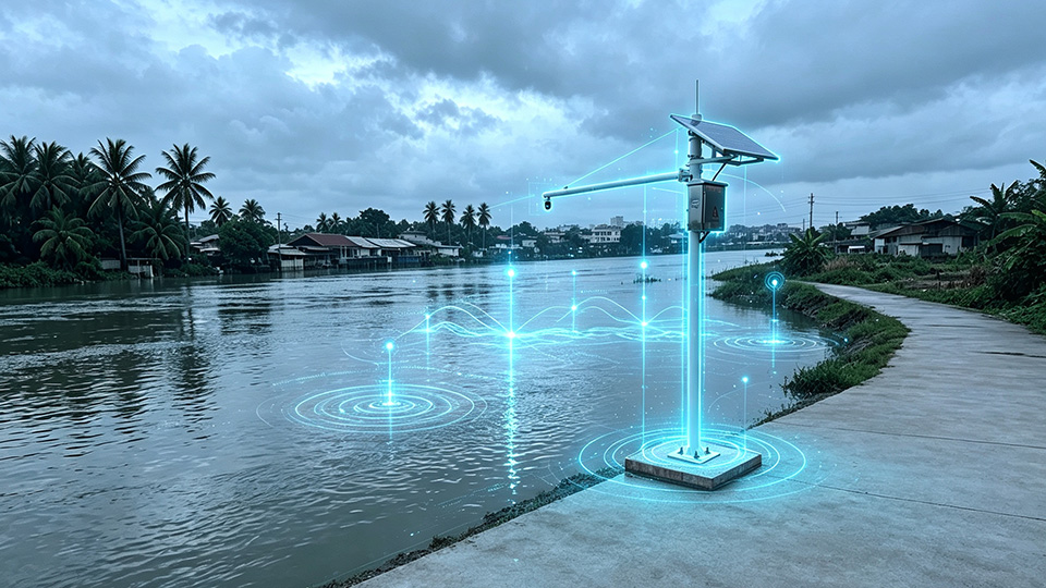
Low-power solar integrated stations are widely adopted. The F-YL100 stainless tipping bucket rain gauge, with anti-clog filters and dual resolution options, fits tropical foliage conditions. Standby power can sustain 8–12 months of off-grid operation for remote watersheds. Matching automatic control sluices trigger flood diversion automatically once thresholds are hit, extensively used in Vietnam’s Mekong delta farmlands.
3.Cross-border Data Sharing & New Business Models
The Mekong Commission signed a five-year climate cooperation deal with Singapore in April 2026, launching joint satellite flood forecasting for Cambodia, Laos, Thailand and Vietnam. China-ASEAN disaster projects supplied standardized monitoring stations and shared cloud platforms to underdeveloped riparian countries, synchronizing real-time hydrological data across borders. A regional meteorological cloud node in Singapore accelerates alert distribution to meet the UN’s Early Warnings For All initiative.
Procurement models shifted greatly this year. Turnkey PPP packages combining hardware, cloud platforms and multi-year operation services now occupy nearly 40% of tenders, up from 14.7% in 2022. Governments prefer full-set solutions from qualified source manufacturers rather than separate component bidding. Thailand, Vietnam and Indonesia hold 63% of regional flood monitoring investment, with Thailand’s annual market growth hitting 14% due to recurring monsoon floods.
4. Diversified Local Deployment Scenarios
Flash flood monitoring networks with GNSS receivers and tipping bucket gauges cover mountain watersheds in Sumatra, northern Vietnam and northern Thailand. Coastal metropolises including Bangkok and Manila deployed radar-based urban drainage systems to tackle seasonal waterlogging. Remote Indonesian archipelagos and Philippine outlying islands rely purely on satellite telemetry to cut dependence on cellular towers.
5.Remaining Regional Challenges
Many Southeast nations still rely on imported core sensor chips, leaving local integrators only assembly and after-sales work. Transport and installation costs stay high for mountain and island stations. Besides, uneven digital literacy in rural areas reduces the public’s ability to receive and respond to flood warnings promptly.
Conclusion
2026 marks a clear turning point for Southeast Asian flood warning infrastructure. Standardized IoT hardware, satellite dual-link transmission and AI forecasting form the core upgrade direction, supported by cross-border data cooperation. The regional market maintains stable growth until 2030, bringing continuous overseas project opportunities for source manufacturers of rain gauges, GNSS terminals and complete flood monitoring stations.
Have Questions About This Topic?
Our engineers are ready to help with your specific deployment.
Talk to an Engineer →